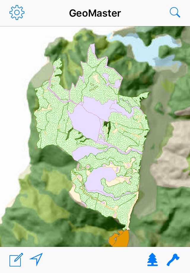
GeoMaster Mobile
Have all your forest information with you, on your iPad or iPhone, while you’re out in the forest.
All the data is on your device, so there is no need for mobile coverage.
Features:
Pre-load any GIS data you want on the device (e.g. topography, contours, LiDAR, hazards, stands and harvest areas).
GPS will show you exactly where you are in the forest.
View details of stands, operations, harvest plans, and expected yield.
Navigate to emergency locations in the event of an accident.
Make notes, including photos, GIS sketches (or GPS trails) and record an audio note.
Plan operations with GIS sketches or GPS trails.
Email notes back to the office, and load recorded photos, sketches, and GPS trails into GIS.
Requires: Atlas GeoMaster forest management system to generate required data files.

